

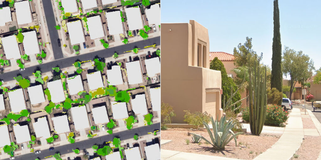
Mapping conservation: Our newest Story Map shows you the how, when and where
Understanding how water is used across central Arizona begins with understanding the landscape itself. That’s the goal behind the interactive land-use classification tool developed by Central Arizona Project (CAP), which gives water providers and planners a regional view of urban land use and the features that influence water demand such as grass, trees and swimming pools. The tool