Arizona’s diverse water portfolio includes groundwater and surface water. Although some of the surface water comes from local supplies within central Arizona, much of it comes from the Colorado River, many miles away.
A journey spanning states and scenery
This water takes a trek from the mountains of the upper Colorado River Basin southward to Lake Powell, through the Grand Canyon, then near Las Vegas into Lake Mead, and finally to Lake Havasu in western Arizona. There, at CAP’s Mark Wilmer Pumping Plant, water is diverted and lifted more than 800 feet uphill into the Buckskin Mountain Tunnel.
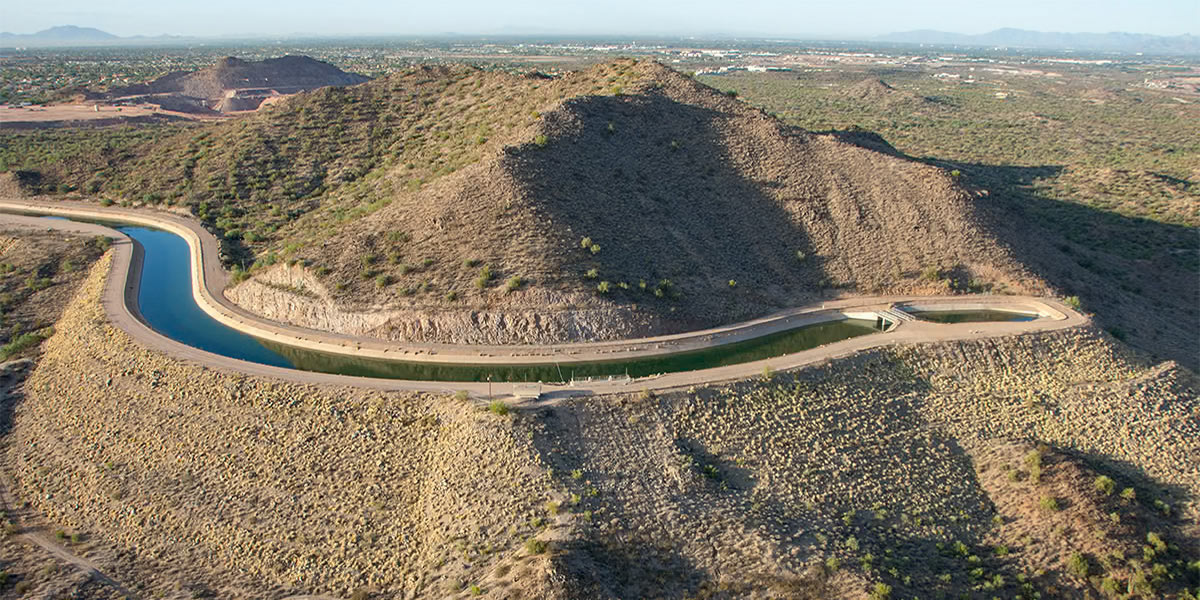
Finally, it flows into the 336-mile CAP canal.
Another leg of the adventure begins.
Welcome to CAP
Every Arizonan is connected to CAP.
Once in the CAP system, which flows through the Valley of the Sun, then through Pinal County, and ends just south of Tucson, this Colorado River water is delivered to cities, towns, municipalities and industries, and Native American tribes in central and southern Arizona.
Connecting communities
CAP’s valuable infrastructure is vital to statewide communities, providing connections among water supplies and systems.
There also are more than 50 turnouts throughout the CAP system that are used to deliver raw Colorado River water to more than 60 users.
Every drop of CAP water that flows through the system is critical to the health, economy and environment of central and southern Arizona.
For more information, the CAP System StoryMap includes locations of pumping plants and aerial shots of this amazing infrastructure.
