

Every time you check the weather, ask Siri for directions or track an online order, you’re using Geographic Information Systems (GIS). The same technology that helps you navigate your day also helps Arizona’s water managers monitor snowpack, track groundwater, map canal infrastructure and better understand the state’s most precious resource.
There are countless Arizona GIS professionals in the state who work tirelessly to collect, analyze and model water data. As a result, three water agencies – CAP, Salt River Project (SRP) and Arizona Department of Water Resources (ADWR) – created an annual GIS Forum. The Arizona Water Geospatial Forum provides an opportunity to make connections, share stories and answer questions about how GIS is used to manage Arizona’s water resources.
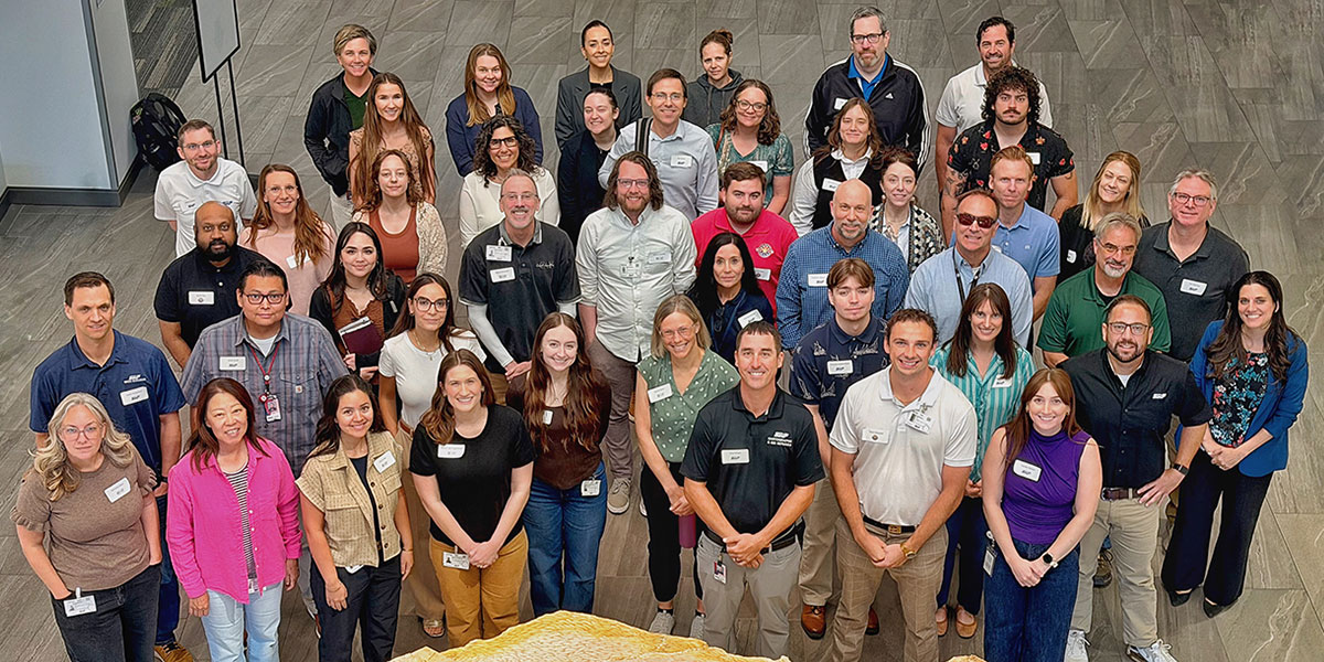
This year’s event was held at SRP with 50 attendees. CAP staff shared how GIS is being used to monitor land subsidence, evaluate growth throughout the CAP service area and apply satellite data to better understand water use and Colorado River Basin issues.
As Arizona continues to face complex water challenges, bringing together GIS professionals from across the state helps ensure the latest mapping tools, data and ideas are shared – strengthening collaboration and supporting smarter water management for years to come.
CAP looks forward to welcoming attendees when it hosts next year’s Arizona Water Geospatial Forum.