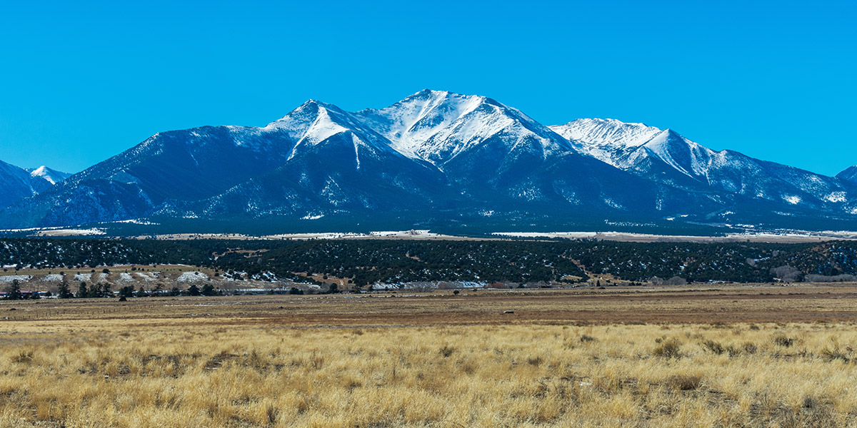
What is “snow drought”?
As planners and water managers in the Western U.S., we tend to think of mountain snowpacks as reservoirs because they constitute a free, readily available means for short-term storage of surface water. In this context, snow drought is a generic, catch-all term to denote an abnormally low snowpack.
The term “snow drought” first came into use among scientists in the 1970s and it was refined by a seminal paper published in EOS, the magazine of the American Geophysical Union, Feb. 2017 (Harpold, A.A., M. Dettinger, and S. Rajagopal). That article addressed differences between the types of snow drought, namely:
- “Dry snow drought” – lack of winter precipitation
- “Warm snow drought” – higher winter temperatures. preventing precipitation from falling as snow (i.e. precipitation falls as rain instead of snow)
Southern reaches of the Colorado River Basin have already shown a marked decrease in total winter precipitation (“dry snow drought”).
The Colorado River Basin is currently experiencing a warm snow drought
A warm snow drought exhibits the following climatic trends:
- Warmer air temperatures – A warmer atmosphere can hold more moisture, so the “tipping point” for generating precipitation is raised. This affects not just the quantity of available water in the atmosphere but also impacts the chances of snowfall.
- Warmer oceans – Warmer oceans generate more water vapor. And you may be surprised to learn that water is a major greenhouse gas – the main greenhouse gas in the atmosphere by volume. Due to a much shorter residence time in the atmosphere (days), its effect on atmospheric heating is more localized and short-lived than CO2 (hundreds of years). But it does set up a warming feedback effect on a time scale that has profound impacts on precipitation.
- Less winter precipitation – As stated above, a warmer atmosphere can hold more moisture before saturation forces it to precipitate out. An atmosphere capable of holding more moisture causes lower-than-expected snowpacks and less winter streamflow. Lower-than-expected snowpack causes lower-than-expected spring snowmelt and low summer streamflow.
- Less winter precipitation falling as snow – More winter rains mean a larger winter peak streamflow. Water leaves the watershed in winter (earlier, compared to a spring snowmelt). More water leaving the watershed in winter means decreased summer streamflow
- Earlier start and end to snowmelt – In those source regions where snow still does occur, an earlier shift in both the onset and end of snowmelt has been observed. Recent work in the Colorado Rockies (Fassnacht & Pfohl, Climate 2025) has shown that warming trends in the average temperature during melt months (March through May) are not as significant as those in minimum temperature, which influences snowmelt timing. As these minima rise, expect snowmelt earlier.
So, what does snow drought mean for the Colorado River Basin?
Overall, expect less winter precipitation to fall as snow in the Colorado River Basin and, when it does, expect it to melt earlier. Similarly, expect snowmelt to end earlier. The snowmelt window is not only tightening but also shifting to start and end earlier in the year.
The snow drought could mean a historically dry year, perhaps one of the driest we have experienced in the Colorado River Basin.
KRA: Water Supply
Providing a reliable CAP water supply for the short- and long-term