Many people living in central Arizona are interested in the current water levels at Lake Pleasant and how the lake is being operated.
Makes sense, since this outdoor recreation paradise is a high-use area for boating and paddling, fishing, camping, hiking, bird-watching and more. The lake levels influence the use of popular shoreline beaches, vehicle access, fish habitat, marinas and boat launching facilities. In addition to the recreational benefits of the lake managed by Maricopa County Parks and Recreation, Lake Pleasant is critical to the reliable and efficient operation of the CAP system. Our Lake Pleasant Water Operations page, which shows water levels and releases in real time, is traditionally one of the most popular pages on CAP’s website.
So we created a pair of complementary graphics that will be updated (even animated) in real-time so you can check and see how the lake is being operated to meet CAP’s mission.
Lake Pleasant Operations
See the water surface elevation, storage volume, surface area and the percent of normal maximum operating level.
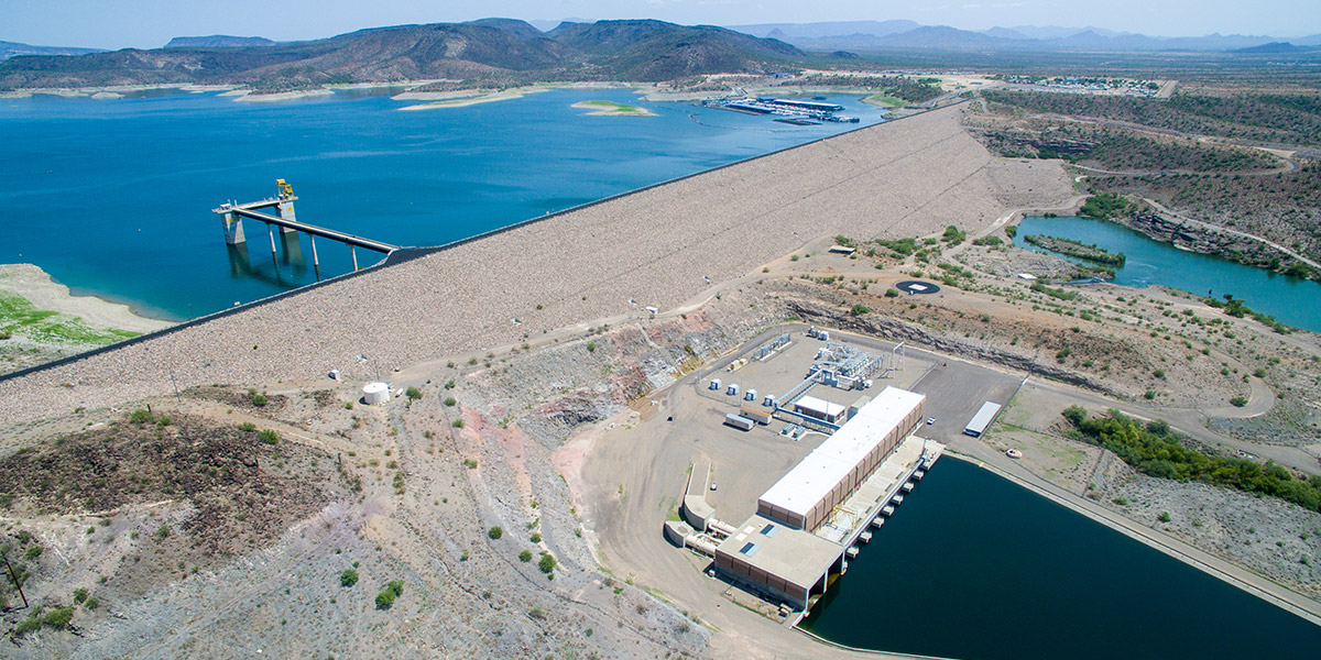
Lake Pleasant is also CAP’s regulatory reservoir, providing flexibility in the CAP system and saving costs by allowing CAP to store water closer to water users. The water is moved halfway across the state during the winter when power costs are lower and then released to water users when they need it during the hotter summer months.
Waddell Pump/Generating Plant
See how much water, in cubic-feet per second (cfs), is being released from New Waddell Dam into the canal, or being pumped into Lake Pleasant
During these fall and winter months, CAP pumps Colorado River water from Lake Havasu near Parker, Ariz. into Lake Pleasant. During the spring and summer, that water is released, which also generates some hydroelectricity!